|
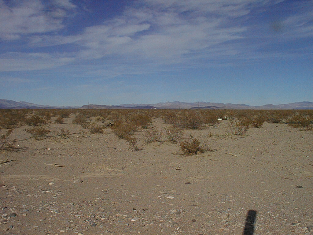
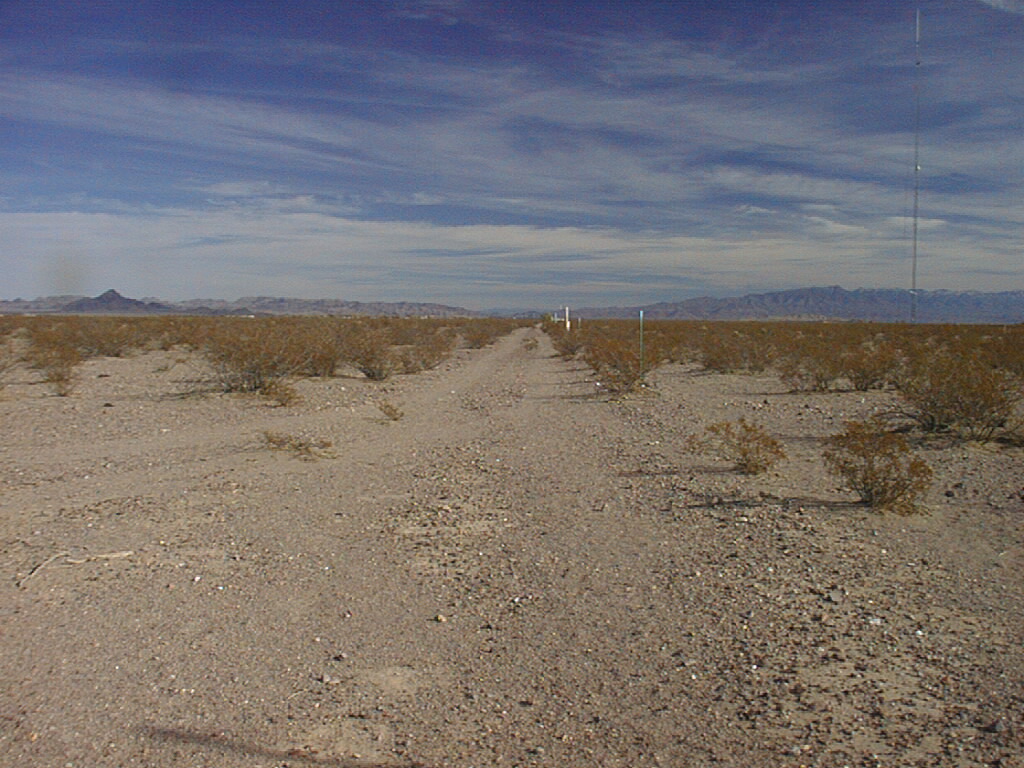
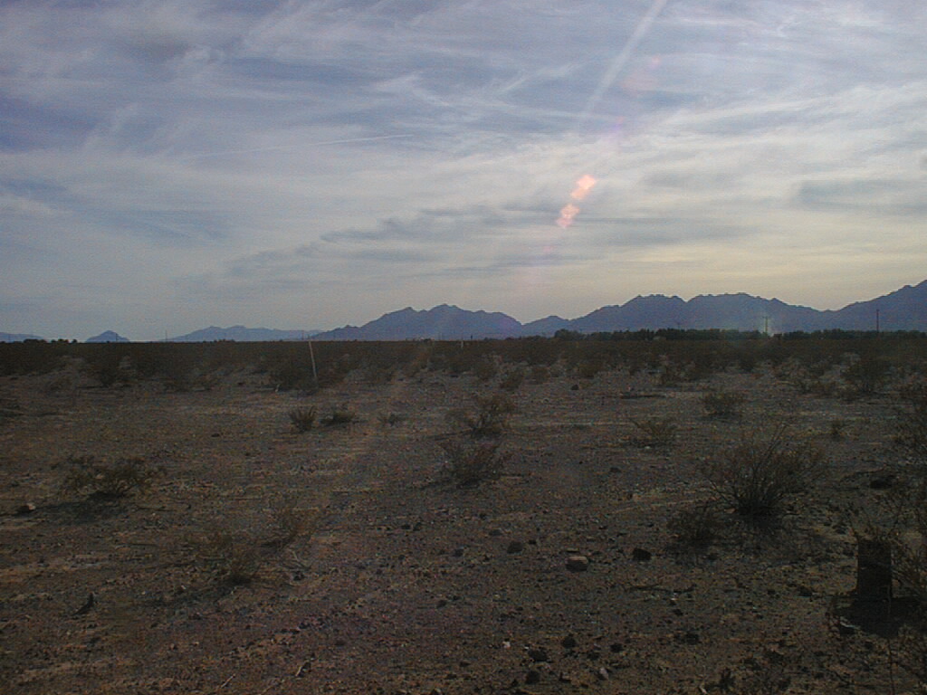
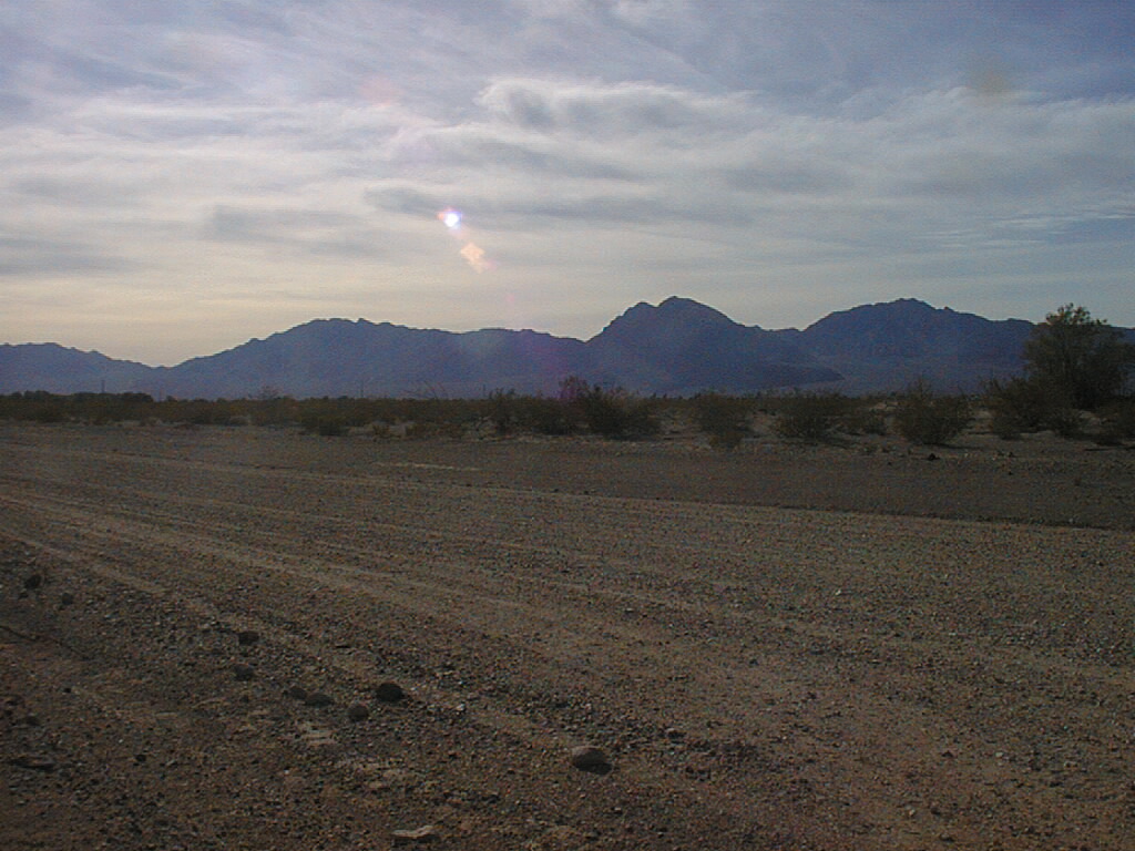
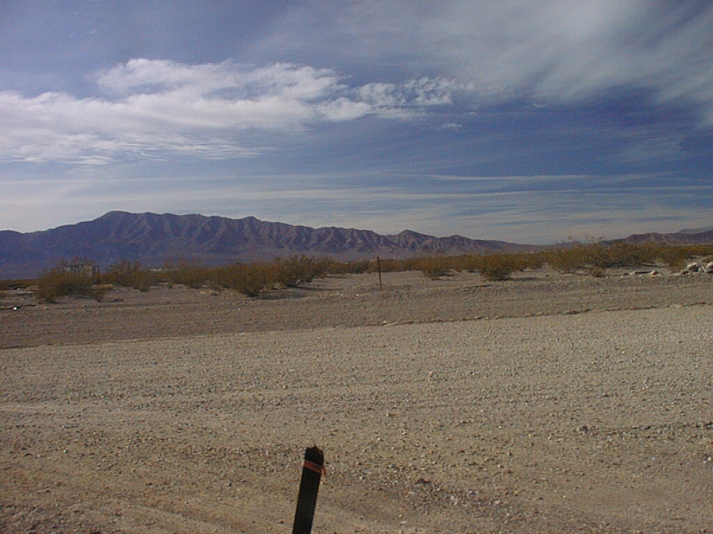
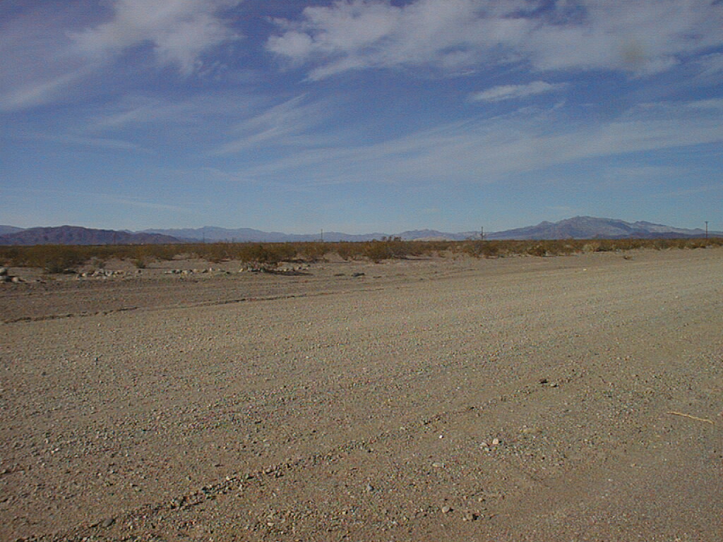
Amargosa Valley NEVADA Amargosa Valley is in southwestern Nevada in the Amargosa Desert, which is part of the Mojave Desert. It is right next to Death Valley and the California border. It is about 80 miles/130 km from Las Vegas. Temperatures range from 122° F /50° C to 14° F/-10° C. Rainfall is not much more than 2"/50 mm. My elevation is 2380'/726 m. The highest peak in the Funeral Mtns., the nearest to me, is 6703'/2044 m. On a clear day Mt. Whitney, 14,494'/4419 m., the highest point in the lower 48 states and some 110 miles/176 km away, can be seen from this valley. Almost any day I can see Mt. Charleston, 11910'/3631 m., which is about 50 miles/80 km away. |
|
|
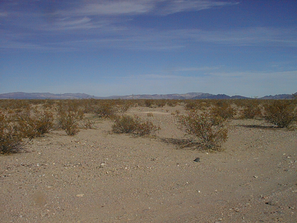
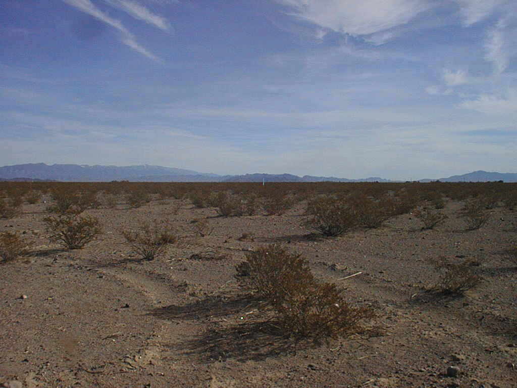
and some countries that are in those directions. The highest peak, as seen from here, is only 4.5°, and in most directions the mountains are 2° or less in elevation. |
|
 |
 |
|
|
|
 |
 |
|
|
|
 |
 |
|
|
|
 |
 |
|
|
|